Spatial Statistics
by Mohammed A. Kalkhan
Geospatial information modeling and mapping have become important tools for the investigation and management of natural resources at the landscape scale. This book reviews the types and applications of geospatial information data, such as remote sensing, GIS, and GPS, as well as their integration into landscape-scale geospatial statistical model
Paperback
Brand New
Publisher Description
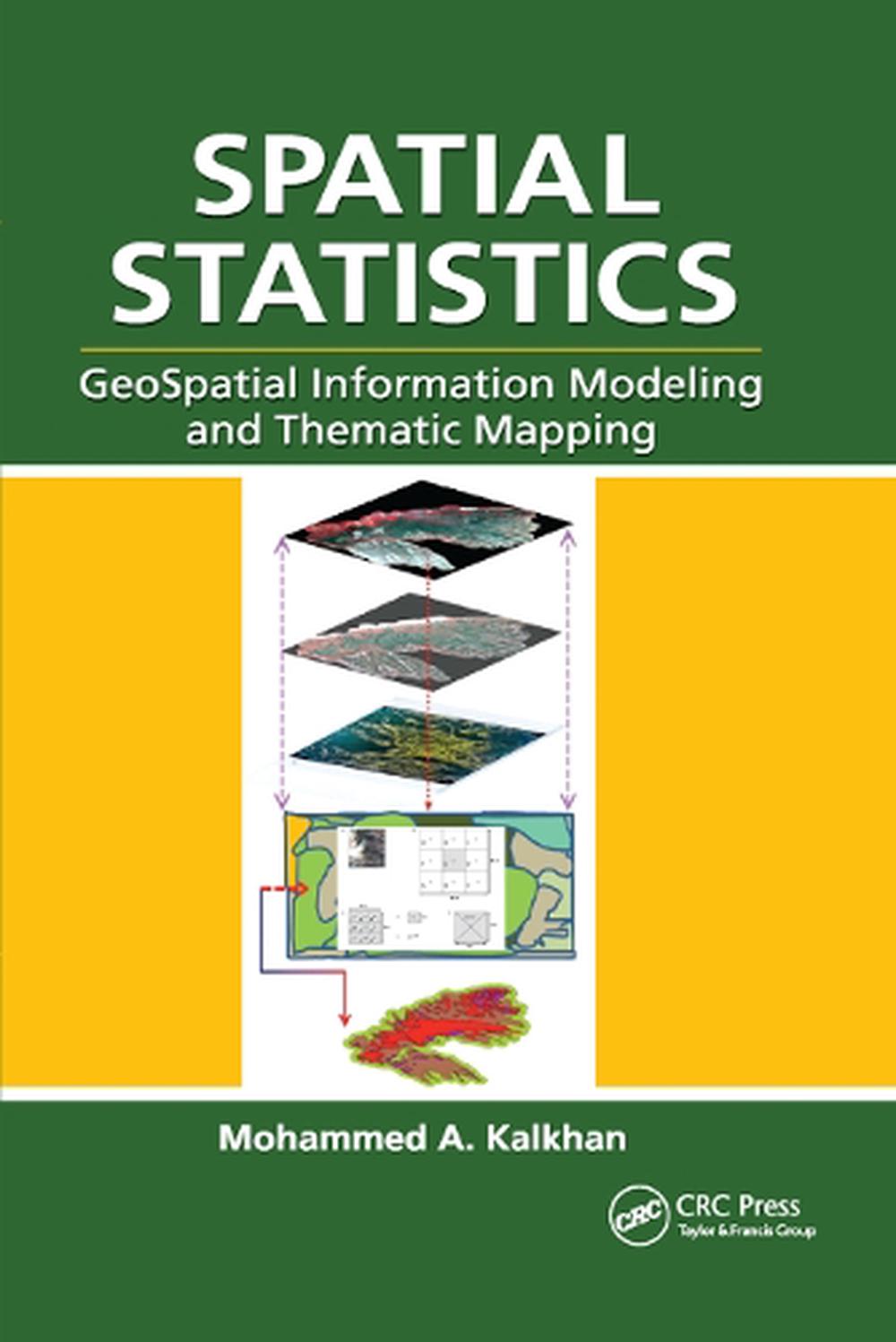
Geospatial information modeling and mapping has become an important tool for the investigation and management of natural resources at the landscape scale. Spatial Statistics: GeoSpatial Information Modeling and Thematic Mapping reviews the types and applications of geospatial information data, such as remote sensing, geographic information systems (GIS), and GPS as well as their integration into landscape-scale geospatial statistical models and maps. The book explores how to extract information from remotely sensed imagery, GIS, and GPS, and how to combine this with field data—vegetation, soil, and environmental—to produce a spatial model that can be reconstructed and displayed using GIS software. Readers learn the requirements and limitations of each geospatial modeling and mapping tool. Case studies with real-life examples illustrate important applications of the models.Topics covered in this book include:
- An overview of the geospatial information sciences and technology and spatial statistics
- Sampling methods and applications, including probability sampling and nonrandom sampling, and issues to consider in sampling and plot design
- Fine and coarse scale variability
- Spatial sampling schemes and spatial pattern
- Linear and spatial correlation statistics, including Moran's I, Geary's C, cross-correlation statistics, and inverse distance weighting
- Geospatial statistics analysis using stepwise regression, ordinary least squares (OLS), variogram, kriging, spatial auto-regression, binary classification trees, cokriging, and geospatial models for presence and absence data
- How to use R statistical software to work on statistical analyses and case studies, and to develop a geospatial statistical model
Table of Contents
Geospatial Information Technology. Data Sampling Methods and Applications. Spatial Pattern and Correlation Statistics. Geospatial Analysis and Modeling–Mapping. R Statistical Package. Working with Geospatial Information Data. Index.
Review
"[This book] covers many topics that are poorly treated by others. ... Chapter 2 on sampling is a true gem. It covers all the standard approaches, but in addition has an extensive discussion of multiphase or double sampling which Kalkhan has used extensively in his own research. There is also an extensive discussion of a case study in which a pixel nested plot (PNP) sampling design is used. This is useful material for researchers and course instructors alike. ... This reviewer enjoyed Chapter 4 immensely. It provides a stimulating discussion of geospatial analysis and modeling including the topics of variogram fitting and kriging. These are pitched at just the right level for most applied researchers who want to use these approaches as a tool to solve their spatial analysis problems. A particular treat is the explanation of spatial autoregressive approaches, binary classification trees and the GARP genetic algorithm. These are topics invariably neglected in many of the standard texts."
—Nigel Waters, Geomatica, Vol. 65, No. 4, 2011
Review Quote
"[This book] covers many topics that are poorly treated by others. ... Chapter 2 on sampling is a true gem. It covers all the standard approaches, but in addition has an extensive discussion of multiphase or double sampling which Kalkhan has used extensively in his own research. There is also an extensive discussion of a case study in which a pixel nested plot (PNP) sampling design is used. This is useful material for researchers and course instructors alike. ... This reviewer enjoyed Chapter 4 immensely. It provides a stimulating discussion of geospatial analysis and modeling including the topics of variogram fitting and kriging. These are pitched at just the right level for most applied researchers who want to use these approaches as a tool to solve their spatial analysis problems. A particular treat is the explanation of spatial autoregressive approaches, binary classification trees and the GARP genetic algorithm. These are topics invariably neglected in many of the standard texts." --Nigel Waters, Geomatica, Vol. 65, No. 4, 2011
Details